Download PhuKhun-Vientiane.gpx
We have tracklogged our whole journey. Below you’ll find all tracks from beginning to end, each of them accompanied with the profile as a jpg-file.
The tracks can be opened in GoogleEarth. To do that first download and save the .gpx file, then open it in GoogleEath from your own computer (File–>Open).
A. Yunnan, China. Sept. – Oct. 2008
Dali is a nice touristic town next to a lake, more or less in the geographical centre of Yunnan. From there we rode to the utmost north of Yunnan, on to the Tibetan plateau. Then we turned left and went along the Lancang river (= the Mekong) to the utmost south of Yunnan, where we entered Laos.
Profile Dali-Lijiang
.
2. Download Lijiang-TigerLeapingGorge.gpx
Profile Lijiang-Tiger Leaping Gorge

.
.
.
3. Download TigerLeapingGorge-ShangriLa.gpx
Profile Tiger Leaping Gorge – Shangri-La

.
.
.
4. Download ShangrLa-Denqin-Weixi.gpx
Profile ShangriLa – Denqin – Weixi

.
.
.
Profile Weixi – Dali

.
.
.
6. Download Dali-Lincang—-.gpx
Profile Dali – Lincang

.
.
.
Profile Lincang – Menghai

.
.
.
Profile Menghai – Jinghong

.
.
.
Profile Jinghong – Mohan

.
.
.
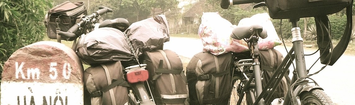
Mohan is a clean town on the Lao border.
More tracks (Lao, Thailand, Cambodia and Vietnam) will be added later.
Alas! For some reason I didn’t manage to place the rest of the tracks with their names and profiles below here. But these are all the tracks we logged during the six-month tour. It’s a bit of a search, but here they are:
Download L.Namtha-L.Prabang.gpx
Download L.Prabang-Phonsavanh.gpx
Download mohan_luangnamtha.gpx
Download pakseattapeu_bolaven.gpx
Download Vientian-KhongChiam.gpx